Click on a date/time to view the file as it appeared at that time.
| Date/Time | Thumbnail | Dimensions | User | Comment |
|---|
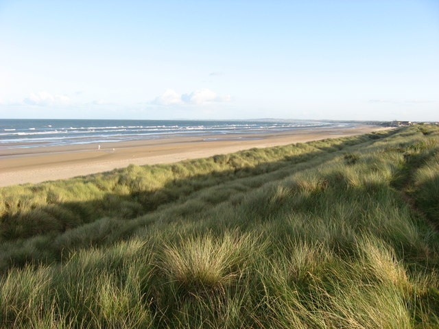
| current | 04:21, 6 February 2011 |  | 640 × 480 (84 KB) | GeographBot | == {{int:filedesc}} == {{Information |description={{en|1=The Burrows, Bettystown, Co. Meath The dunes known as The Burrows run from Bettystown to the mouth of the River Boyne.}} |date=2007-09-17 |source=From [http://www.geograph.org.uk/photo/558986 geogra |
The following pages on the English Wikipedia use this file (pages on other projects are not listed):
The following other wikis use this file:
- Usage on hr.wikipedia.org
- Usage on no.wikipedia.org
- Usage on pl.wikivoyage.org
This file contains additional information, probably added from the digital camera or scanner used to create or digitize it.
If the file has been modified from its original state, some details may not fully reflect the modified file.