File:The Levant 3.png
[]
- 1
-
 English (original)
 -
 Nederlands
 -
 العربية


- 2
-
 српски / srpski
 -
 íslenska
 -
 қазақша (PNG)


- 3
-
 русский
 -
 მარგალური


References
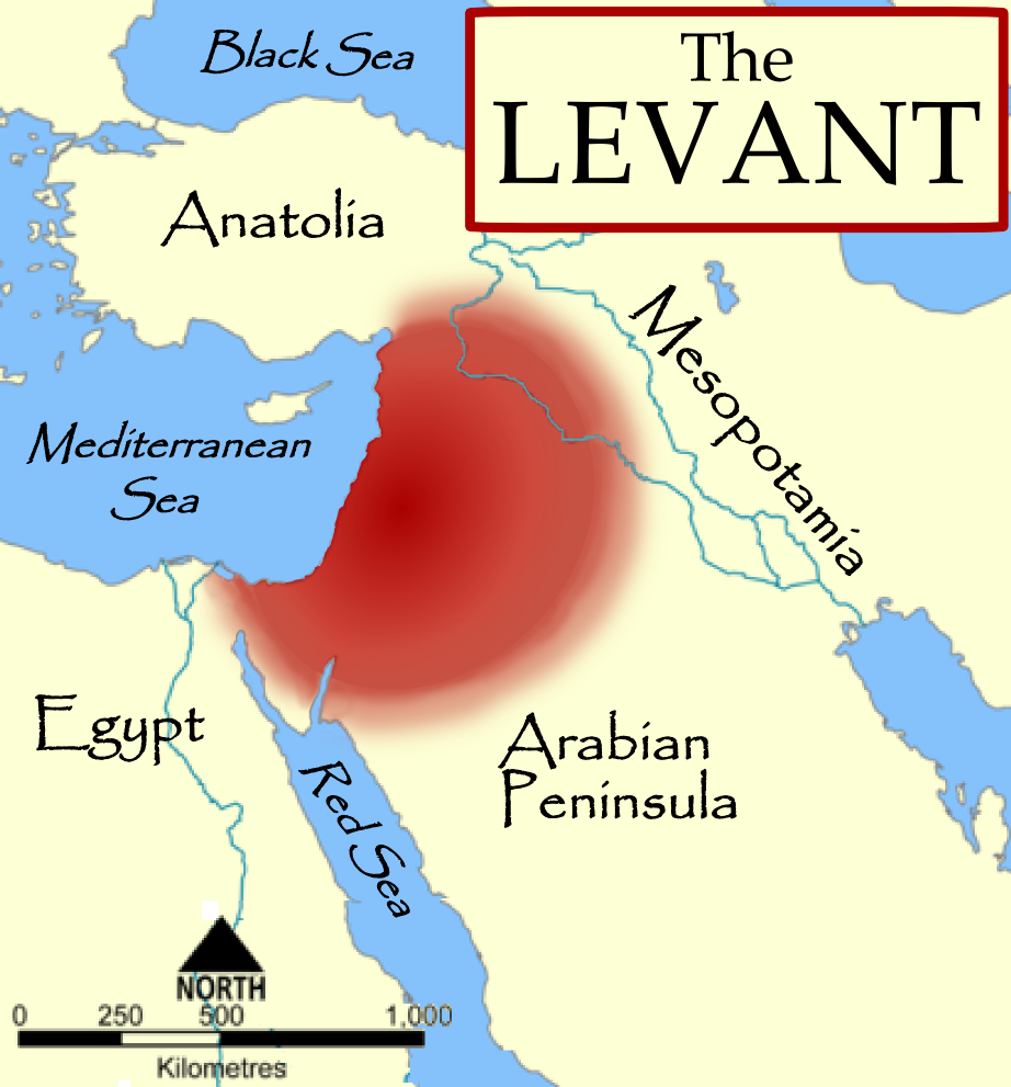
- The American Heritage Dictionary of the English Language, Fourth Edition, Houghton Mifflin Company. "The countries bordering on the eastern Mediterranean Sea from Turkey to Egypt."
- Random House Dictionary, Random House, Inc. 2009. "The lands bordering the E shores of the Mediterranean Sea."
- Harris, William W. (2005) The Levant: a fractured mosaic, Markus Wiener, Second Edition, map p. 4, quote p. 1. "The Mediterranean littoral between the mountains of Cilicia and the Sinai peninsula."
- Oriental Institute, "Levant Site Map archive copy at the Wayback Machine", University of Chicago, accessed 15 Dec 2009.
- Council for British Research in the Levant, "The CBRL is the British Academy sponsored society that supports research in the humanities and social sciences in the countries of the Levant: Cyprus, Israel, Jordan, Lebanon, Palestine and Syria, . . . archive copy at the Wayback Machine", accessed 15 Dec 2009.
- Biblical and Levantine studies at UCLA, "The ancient cultures of the Levant are defined to include those of western Syria, Lebanon, Israel, Jordan, the Palestinian territories, the Egyptian Sinai, and Cyprus."
Licensing
I, the copyright holder of this work, hereby publish it under the following licenses:

|
Permission is granted to copy, distribute and/or modify this document under the terms of the GNU Free Documentation License, Version 1.2 or any later version published by the Free Software Foundation; with no Invariant Sections, no Front-Cover Texts, and no Back-Cover Texts. A copy of the license is included in the section entitled GNU Free Documentation License. |
| This file is licensed under the Creative Commons Attribution-Share Alike 3.0 Unported license. | ||
| ||
| This licensing tag was added to this file as part of the GFDL licensing update. |
You may select the license of your choice.
derivative works
Derivative works of this file: The Levant-ar.png

|
This locator map image could be re-created using vector graphics as an SVG file. This has several advantages; see Commons:Media for cleanup for more information. If an SVG form of this image is available, please upload it and afterwards replace this template with
{{vector version available|new image name}}.
It is recommended to name the SVG file “The Levant 3.svg”—then the template Vector version available (or Vva) does not need the new image name parameter. |

