File:The Middle East-1942.jpg

|
This image could be re-created using vector graphics as an SVG file. This has several advantages; see Commons:Media for cleanup for more information. If an SVG form of this image is available, please upload it and afterwards replace this template with
{{vector version available|new image name}}.
It is recommended to name the SVG file “The Middle East-1942.svg”—then the template Vector version available (or Vva) does not need the new image name parameter. |


|
|
This map image could be re-created using vector graphics as an SVG file. This has several advantages; see Commons:Media for cleanup for more information. If an SVG form of this image is available, please upload it and afterwards replace this template with
{{vector version available|new image name}}.
It is recommended to name the SVG file “The Middle East-1942.svg”—then the template Vector version available (or Vva) does not need the new image name parameter. |
| Description |
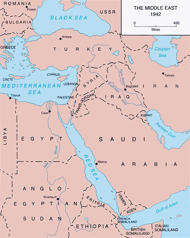
English: c. 1943 map of the Middle East and Egypt. |
| Source | Egypt-Libya 11 June 1942-12 February 1943 was prepared in the U.S. Army Center of Military History by Clayton R. Newell |
| Author |
| This image is in the public domain because it contains materials that originally came from the United States Army Center of Military History, subject to the following qualification.
Note: The images of all badges, insignia, decorations and medals on the "CMH Online" web site are produced by the United States Army Institute of Heraldry and protected by Title 18, United States Code, Section 704 and the Code of Federal Regulations (32 CFR, Part 507). Permission to use these images for commercial purposes must be obtained from The Institute of Heraldry prior to their use. |

|
