Click on a date/time to view the file as it appeared at that time.
| Date/Time | Thumbnail | Dimensions | User | Comment |
|---|
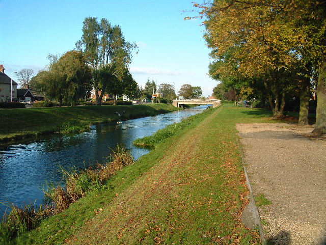
| current | 05:27, 30 January 2010 |  | 640 × 481 (147 KB) | GeographBot | == {{int:filedesc}} == {{Information |description={{en|1=The River Welland. The River Welland at Spalding looking towards the twin bridges from the town side}} |date=2004-10-10 |source=From [http://www.geograph.org.uk/photo/28250 geograph.org.uk] |author= |
The following 2 pages use this file:
The following other wikis use this file:
- Usage on azb.wikipedia.org
- Usage on fa.wikipedia.org
This file contains additional information, probably added from the digital camera or scanner used to create or digitize it.
If the file has been modified from its original state, some details may not fully reflect the modified file.