Click on a date/time to view the file as it appeared at that time.
| Date/Time | Thumbnail | Dimensions | User | Comment |
|---|
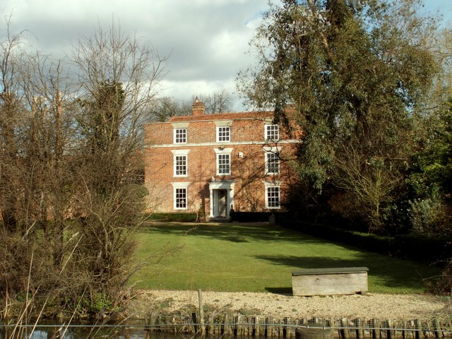
| current | 23:24, 18 February 2011 |  | 640 × 480 (113 KB) | GeographBot | == {{int:filedesc}} == {{Information |description={{en|1=The farmhouse at Moat Farm This is the view from Turkey Cock Lane.}} |date=2008-02-27 |source=From [http://www.geograph.org.uk/photo/708831 geograph.org.uk] |author=[http://www.geograph.org.uk/profi |
The following page uses this file:
This file contains additional information, probably added from the digital camera or scanner used to create or digitize it.
If the file has been modified from its original state, some details may not fully reflect the modified file.