Click on a date/time to view the file as it appeared at that time.
| Date/Time | Thumbnail | Dimensions | User | Comment |
|---|
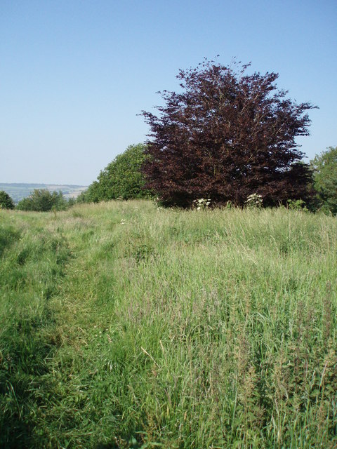
| current | 19:14, 31 January 2010 |  | 480 × 640 (114 KB) | GeographBot | == {{int:filedesc}} == {{Information |description={{en|1=The top of Stantonbury Hill. The Wansdyke passes over Stantonbury Hill, and it is also the site of an Iron age hill fort. }} |date=2006-06-17 |source=From [http://www.geograph.org.uk/photo/19270 |
The following pages on the English Wikipedia use this file (pages on other projects are not listed):
The following other wikis use this file:
- Usage on www.wikidata.org
This file contains additional information, probably added from the digital camera or scanner used to create or digitize it.
If the file has been modified from its original state, some details may not fully reflect the modified file.