File:Thomas Mill Covered Bridge.JPG
Click on a date/time to view the file as it appeared at that time.
| Date/Time | Thumbnail | Dimensions | User | Comment | |
|---|---|---|---|---|---|
| current | 16:29, 12 November 2010 | 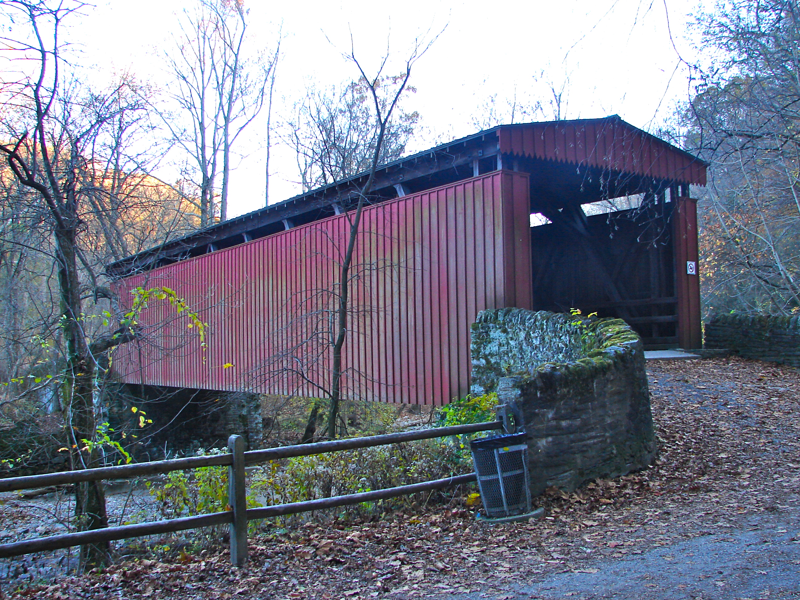 | 2,592 × 1,944 (2.91 MB) | Smallbones | {{Information |Description={{en|1=Thomas Mill Covered Bridge on the NRHP since December 1, 1980. On Thomas Mill Road (or footpath) across Wissahickon Creek connecting to Forbidden Drive in Fairmount Park, Philadelphia. This is the only surviving covered b |
File usage
The following 4 pages use this file: