File:TruroFalmouthAerial.jpg
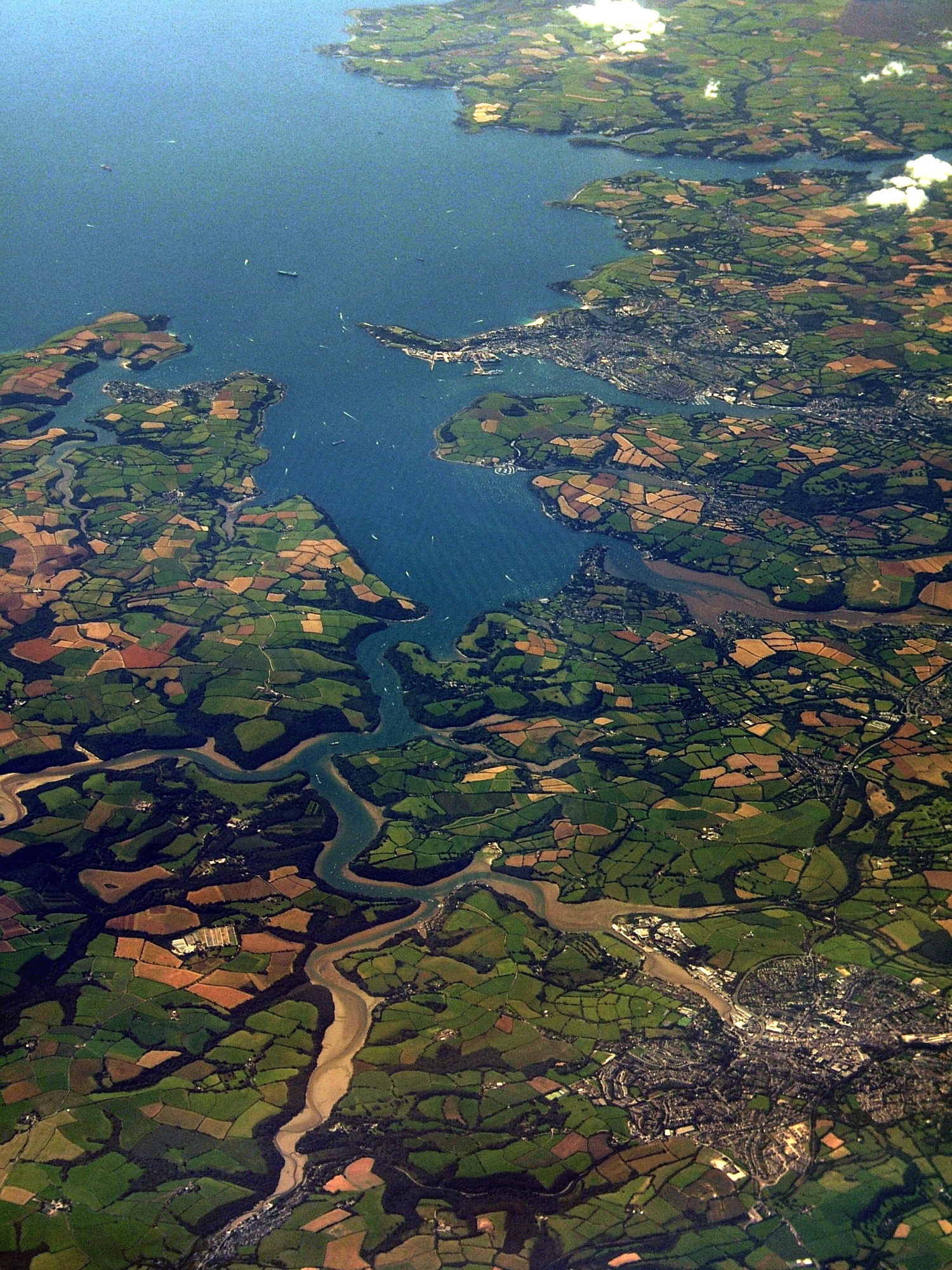
An aerial photo of Carrick Roads. Falmouth is at the mouth of the estuary, and Truro is in the bottom-right of the image.
See map. [?]
Date
Source
South Cornish coast
Author
Jessica from Hove, United Kingdom
Licensing
This file is licensed under the Creative Commons Attribution 2.0 Generic license.
- You are free:
- to share – to copy, distribute and transmit the work
- to remix – to adapt the work
- Under the following conditions:
- attribution – You must give appropriate credit, provide a link to the license, and indicate if changes were made. You may do so in any reasonable manner, but not in any way that suggests the licensor endorses you or your use.
| This image, originally posted to Flickr, was reviewed on 13:23, 4 November 2007 (UTC) by the administrator or reviewer Boricuaeddie, who confirmed that it was available on Flickr under the stated license on that date. |
