File:Two Bridges Cross The Laira - Geograph.org.uk - 293055.jpg
Click on a date/time to view the file as it appeared at that time.
| Date/Time | Thumbnail | Dimensions | User | Comment | |
|---|---|---|---|---|---|
| current | 22:13, 14 December 2010 | 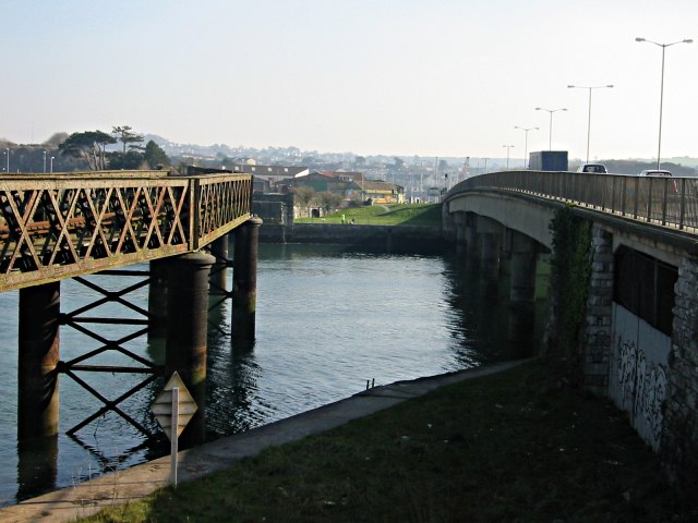 | 640 × 480 (71 KB) | GeographBot | == {{int:filedesc}} == {{Information |description={{en|1=Two Bridges Cross The Laira The Laira is the name for the estuarine stretch of the River Plym above The Cattewater. Here it's at its narrowest. On the left is an old decaying railway bridge and on |
File usage
The following page uses this file:
Global file usage
The following other wikis use this file: