Loading
  • 21 Aug, 2019

  • By, Wikipedia

File:USGS 1951 Ogdensburg Topo Cropped.png

Bahasa Indonesia  català  čeština  Deutsch  eesti  English  español  français  galego  italiano  Nederlands  português  polski  sicilianu  suomi  Tiếng Việt  Türkçe  български  македонски  русский  മലയാളം  한국어  日本語  中文  中文(简体)  中文(繁體)  العربية  فارسی  +/−

Captions

Add a one-line explanation of what this file represents

Items portrayed in this file

depicts

File history

Click on a date/time to view the file as it appeared at that time.

Date/TimeThumbnailDimensionsUserComment
current20:48, 31 May 2009Thumbnail for version as of 20:48, 31 May 2009900 × 534 (867 KB)TwinsMetsFan
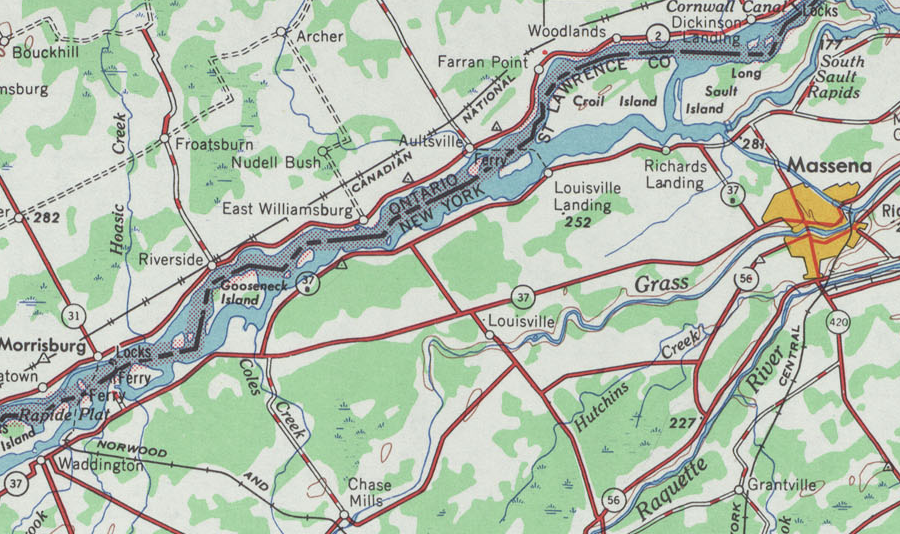
{{Information |Description={{en|1=A cropped portion of the United States Geological Survey's 1951 1:250,000 scale topographic map of Ogdensburg, New York. The crop is mainly centered on NY 37B, but it may be suitable for other uses as well.}} |Source=http
The following pages on the English Wikipedia use this file (pages on other projects are not listed):