Click on a date/time to view the file as it appeared at that time.
| Date/Time | Thumbnail | Dimensions | User | Comment |
|---|
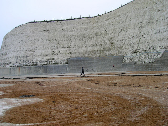
| current | 22:14, 14 December 2010 |  | 640 × 479 (146 KB) | GeographBot | == {{int:filedesc}} == {{Information |description={{en|1=Undercliff Walk, Rottingdean This point marks the site of a former open air pool that operated near the base of the cliff until the mid 1980s}} |date=2006-12-25 |source=From [http://www.geograph.org |
The following page uses this file:
The following other wikis use this file:
- Usage on azb.wikipedia.org
- Usage on ca.wikipedia.org
- Usage on sl.wikipedia.org
This file contains additional information, probably added from the digital camera or scanner used to create or digitize it.
If the file has been modified from its original state, some details may not fully reflect the modified file.