21 Aug, 2019
By, Wikipedia
File:Upper Angara Range ONC E-8.jpg
https://creativecommons.org/publicdomain/mark/1.0/PDMCreative Commons Public Domain Mark 1.0falsefalse
Captions
Upper Angara Range and Upper Angara River
Click on a date/time to view the file as it appeared at that time.
| Date/Time | Thumbnail | Dimensions | User | Comment | |
|---|---|---|---|---|---|
| current | 14:26, 28 September 2021 | 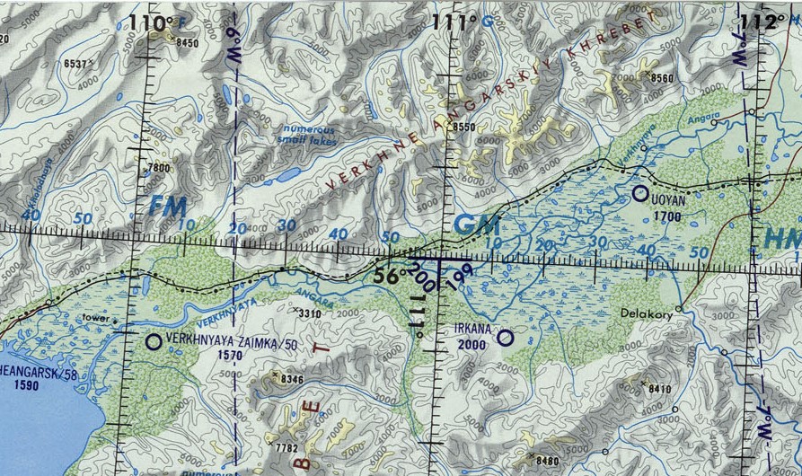 | 893 × 530 (302 KB) | Xufanc | Uploaded a work by Defense Mapping Agency Aerospace Center, St. Louis, Mo. from File:Operational_Navigation_Chart_E-8,_6th_edition.jpg with UploadWizard |
The following 2 pages use this file:
The following other wikis use this file: