
File history
Click on a date/time to view the file as it appeared at that time.
| Date/Time | Thumbnail | Dimensions | User | Comment | |
|---|---|---|---|---|---|
| current | 19:27, 4 March 2011 | 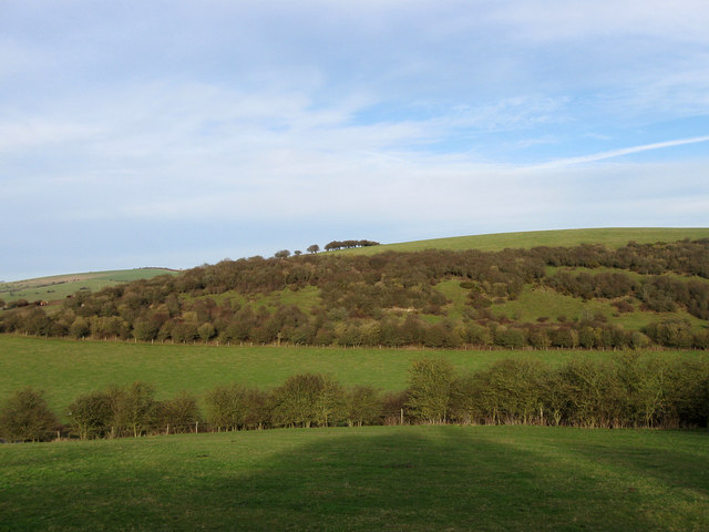 | 640 × 480 (65 KB) | GeographBot | == {{int:filedesc}} == {{Information |description={{en|1=Varncombe Hill Viewed from West Down. Beyond the trees in the dip is Saddlescombe Road.}} |date=2009-12-28 |source=From [http://www.geograph.org.uk/photo/1640421 geograph.org.uk] |author=[http://www |
File usage
The following pages on the English Wikipedia use this file (pages on other projects are not listed):