Click on a date/time to view the file as it appeared at that time.
| Date/Time | Thumbnail | Dimensions | User | Comment |
|---|
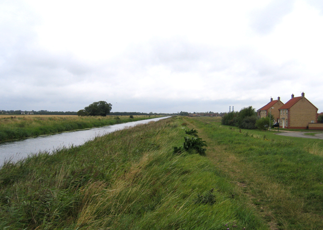
| current | 01:32, 1 February 2010 |  | 640 × 456 (244 KB) | GeographBot | == {{int:filedesc}} == {{Information |description={{en|1=Vernatt's Drain, Spalding, Lincs. view NE with Sorrel Drive below its bank.}} |date=2006-08-12 |source=From [http://www.geograph.org.uk/photo/218726 geograph.org.uk] |author=[http://www.geograph. |
The following page uses this file:
The following other wikis use this file:
- Usage on azb.wikipedia.org
- Usage on de.wikipedia.org
This file contains additional information, probably added from the digital camera or scanner used to create or digitize it.
If the file has been modified from its original state, some details may not fully reflect the modified file.