Loading
  • 21 Aug, 2019

  • By, Wikipedia

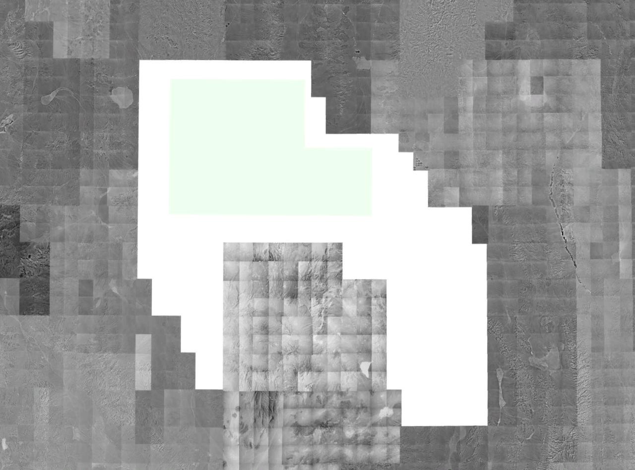
File:Wfm Nellis Range Redactions.jpg

Source: USGS/NRO satellite photography, collected via NASA World Wind.


Public domain
This image is in the public domain in the United States because it only contains materials that originally came from the United States Geological Survey, an agency of the United States Department of the Interior. For more information, see the official USGS copyright policy.

Bahasa Indonesia  català  čeština  Deutsch  eesti  English  español  français  galego  italiano  Nederlands  português  polski  sicilianu  suomi  Tiếng Việt  Türkçe  български  македонски  русский  മലയാളം  한국어  日本語  中文  中文(简体)  中文(繁體)  العربية  فارسی  +/−

Captions

Add a one-line explanation of what this file represents

Items portrayed in this file

depicts

File history

Click on a date/time to view the file as it appeared at that time.

Date/TimeThumbnailDimensionsUserComment
current14:40, 21 June 2006Thumbnail for version as of 14:40, 21 June 20061,280 × 948 (128 KB)Finlay McWalterA montage image of southern Nevada, showing available USGS/NRO monochrome digital orthographic photography. Quads covering the Nellis Air Force Range (NAFR) are redacted from the photostream at source (and show up in this image in blank white). The Neva

The following page uses this file:

Global file usage

The following other wikis use this file:

Metadata