Click on a date/time to view the file as it appeared at that time.
| Date/Time | Thumbnail | Dimensions | User | Comment |
|---|
| current | 16:12, 27 October 2021 |  | 861 × 1,152 (532 KB) | 9yz | New NAIP imagery from 2020 |
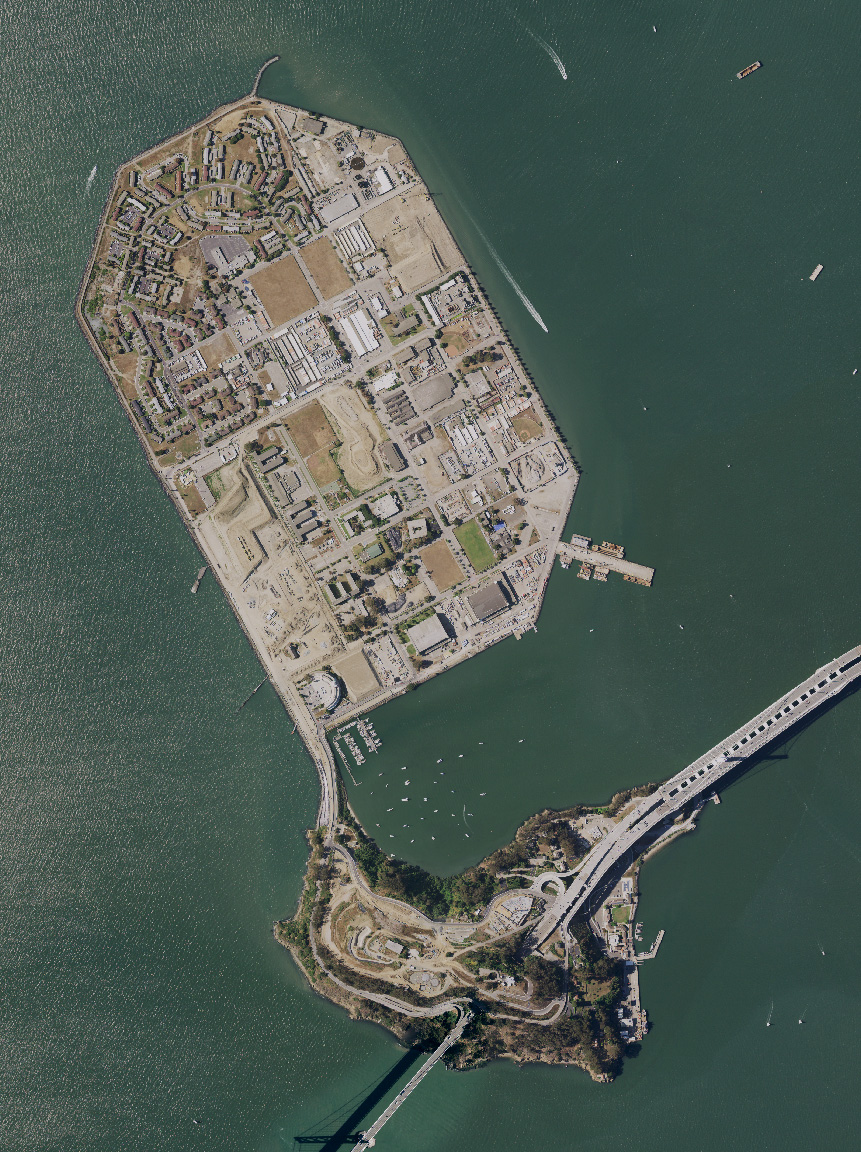
| 11:54, 1 August 2005 |  | 948 × 1,280 (217 KB) | Finlay McWalter | Treasure Island and Yerba Buena island, and the San Francisco Bay Bridge, in San Francisco Bay, California. USGS aerial photograph montage. Made using NASA World Wind. {{PD-USGov-USGS}} category:maps |
The following other wikis use this file:
- Usage on bg.wikipedia.org
- Usage on ceb.wikipedia.org
- Usage on de.wikipedia.org
- Usage on en.wikivoyage.org
- Usage on es.wikipedia.org
- Usage on et.wikipedia.org
- Usage on fr.wikipedia.org
- Usage on is.wikipedia.org
- Usage on nl.wikipedia.org
- Usage on ru.wikipedia.org
- Usage on th.wikipedia.org
- Usage on www.wikidata.org
- Usage on zh.wikipedia.org
