File:Whisky Creek Cabin Site Map.jpg
This is an image of a place or building that is listed on the National Register of Historic Places in the United States of America. Its reference number is 75001584.
Date
Unknown date; uploaded 20 March 2009
Source
http://www.blm.gov/or/resources/recreation/rogue/images/whiskybuildings-LG.gif
Author
Bureau of Land Management
Permission
(Reusing this file)
Public Domain
Other versions
Minor text position changes were made to this version
(Reusing this file)
Licensing
| This image is a work of a Bureau of Land Management* employee, taken or made as part of that person's official duties. As a work of the U.S. federal government, the image is in the public domain in the United States. *or predecessor organization |
Original upload log
Transferred from en.wikipedia to Commons by matthiasb.
The original description page was here. All following user names refer to en.wikipedia.
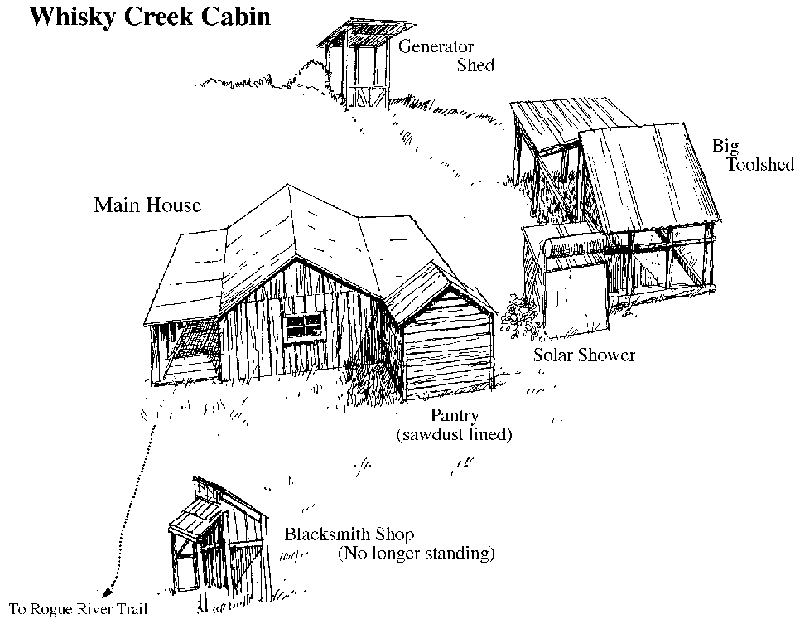
- 2009-03-21 01:32 Orygun 800×624× (93337 bytes) {{Information |Description= Whisky Creek Cabin Site Map; cabin is located on the north shore of the Rogue River at the mouth of Whisky Creek in Josephine County, Oregon |Source= http://www.blm.gov/or/resources/recreation/rogue/images/whiskybuildings-LG.gi
