File:Wippershain Kegelspiel.jpg
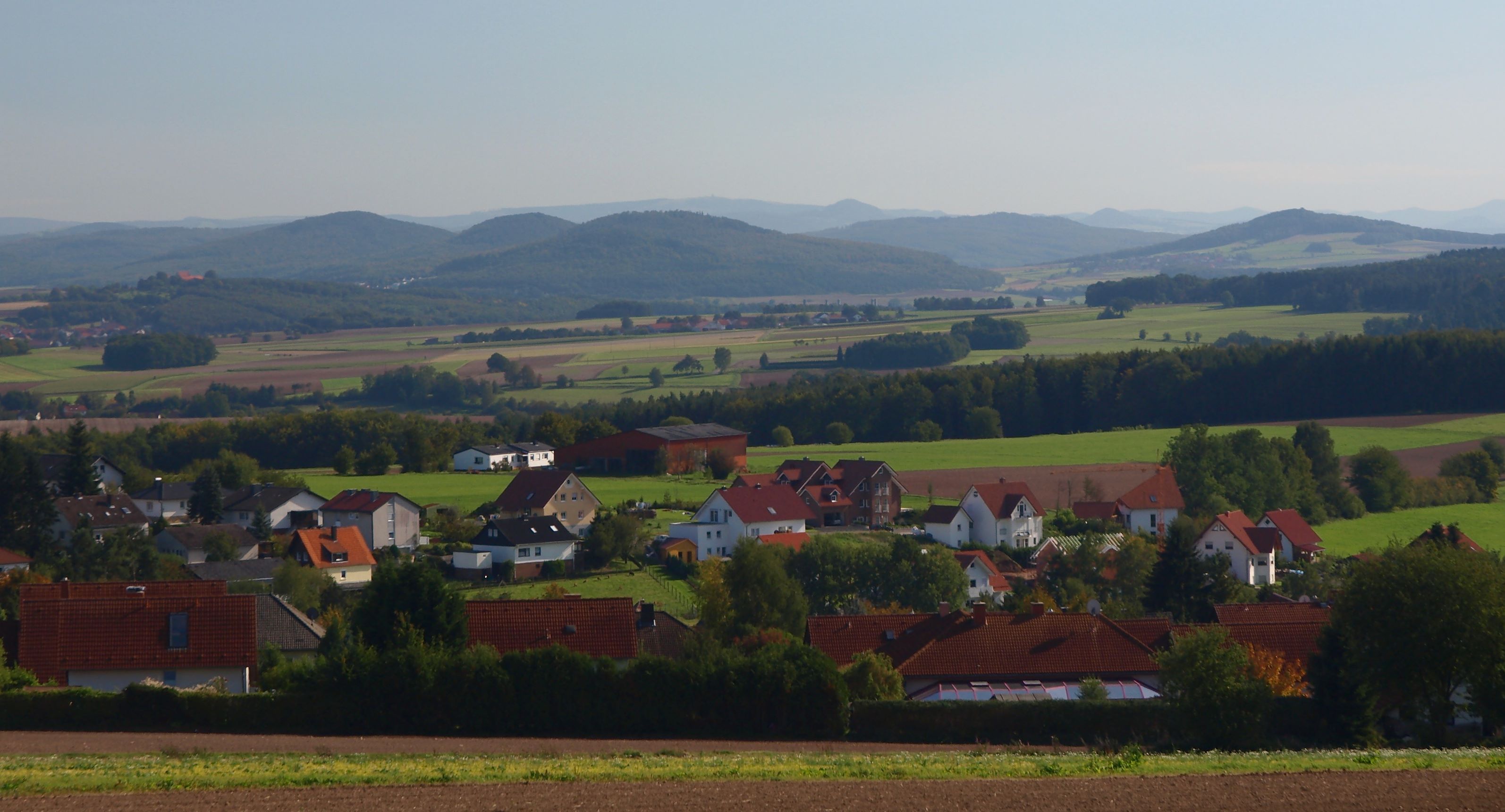
In den hinteren Reihen sieht man, Milseburger Kuppenrhön und Hohe Rhön:
- Stirnberg (902 m; 43 km); ganz links
- Steinkopf (888 m; 43 km); zwischen Rößberg zbd Stallberg
- Heidelstein; (926 m; 45 km) auf diesem Bild genau vom Stallberg verdeckt, bei etwas anderer Kameraposition jedoch sichtbar
- Wasserkuppe (950 m; 39 km); rechts hinter dem Rückersberg
- Milseburg (835 m; 34 km); links hinter dem Suhl
- Stellberg (727 m; 34 km); rechts hinter dem Suhl
- Eierhauckberg (910 m; 49 km); links hinter dem Wisselsberg
- Dammersfeldkuppe (928 m; 49 km); ganz rechts
(Reusing this file)
