File:WorcestershireMap1832.png
Click on a date/time to view the file as it appeared at that time.
| Date/Time | Thumbnail | Dimensions | User | Comment | |
|---|---|---|---|---|---|
| current | 18:13, 3 August 2014 | 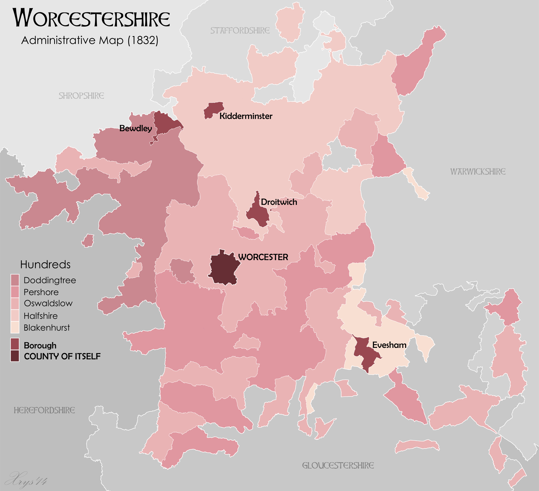 | 2,198 × 2,000 (707 KB) | XrysD | Added missing detached areas of Shropshire, Staffordshire, Gloucestershire and Herefordshire. Shaded surrounding counties and added labels to ease identification. |
| 12:47, 2 August 2014 |  | 2,198 × 2,000 (674 KB) | XrysD | Corrected map to show 1832 Hundreds. Removed Dudley borough as that didn't exist until 1865. Changed Worcester to County of Itself. | |
| 17:47, 1 August 2014 |  | 2,198 × 2,000 (739 KB) | XrysD | User created page with UploadWizard |
File usage
The following 3 pages use this file:
Global file usage
The following other wikis use this file:
- Usage on ca.wikipedia.org