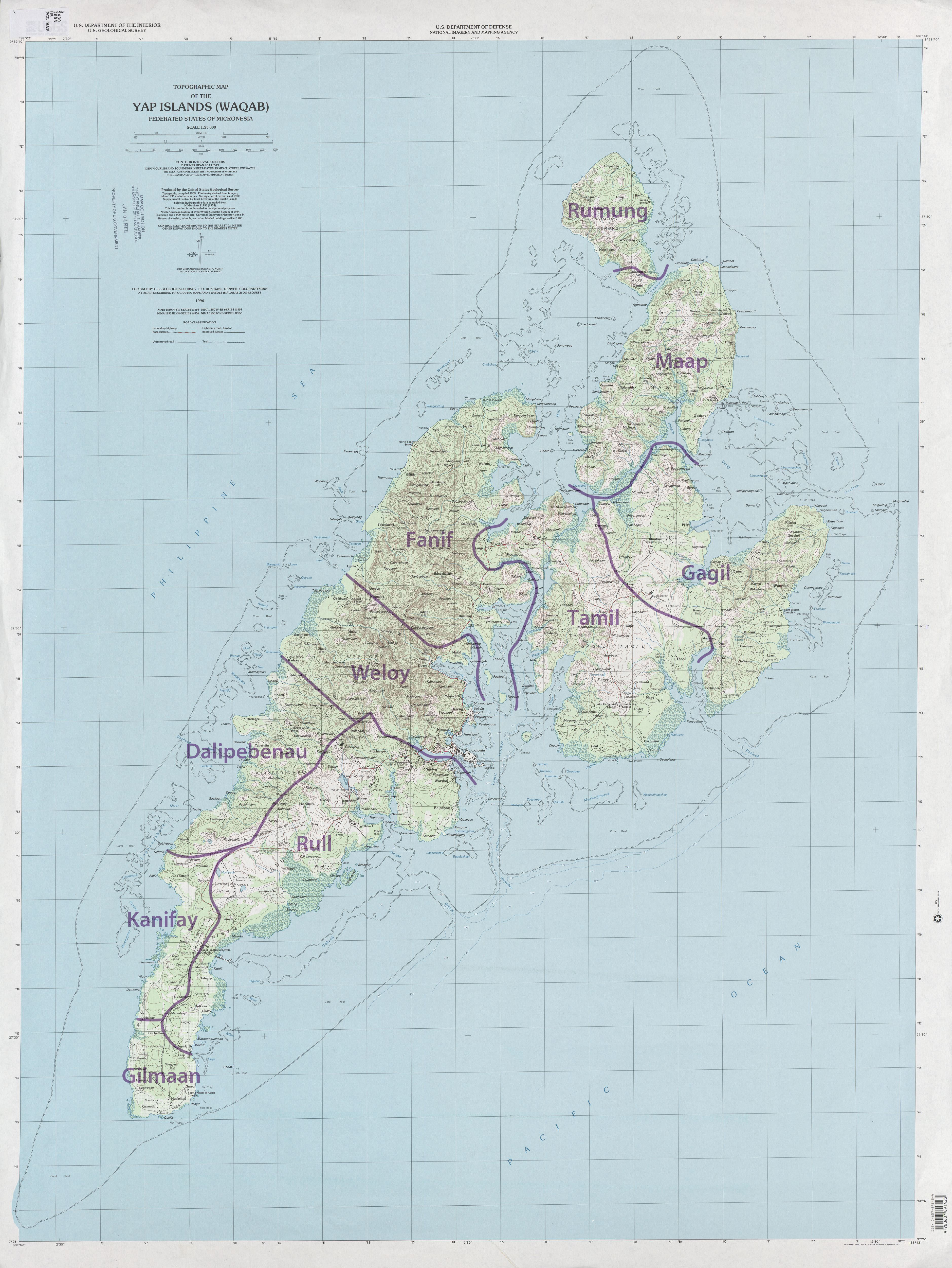
File:Yap Islands Municipalities.jpg
| This is a retouched picture, which means that it has been digitally altered from its original version. Modifications: municipalities added. The original can be viewed here: Txu-oclc-0607891424-yap island.jpg:
|
This image is in the public domain in the United States because it only contains materials that originally came from the United States Geological Survey, an agency of the United States Department of the Interior. For more information, see the official USGS copyright policy.
|
Original upload log
This image is a derivative work of the following images:
- File:Txu-oclc-0607891424-yap_island.jpg licensed with PD-USGov-USGS
- 2010-01-08T21:26:47Z Ratzer1 3756x5000 (2748638 Bytes) {{Information |Description={{en|1=detailed topographic map of Yap Islands, Federated States of Micronesia, Pacific Ocean}} |Source=http://www.lib.utexas.edu/maps/topo/pacific_islands/txu-oclc-0607891424-yap_island.jpg |Author
Uploaded with derivativeFX