File:Západní Sibiř.png
A composed satellite photograph of Asia in orthographic projection This is NASA "Blue Marble" image applied as a texture on a sphere using Art of Illusion program. The observer is centered at (40° N, 85° E), at Moon distance above the Earth.
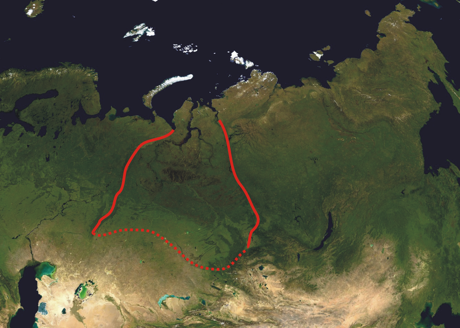
This modification describes boundaries of West Siberian Plain (red line).
Date
(UTC)
Source
Author
- Asia_satellite_orthographic.jpg: created by NASA
- derivative work: Hanzs
| This is a retouched picture, which means that it has been digitally altered from its original version. The original can be viewed here: Asia satellite orthographic.jpg:
|
| This file is in the public domain in the United States because it was solely created by NASA. NASA copyright policy states that "NASA material is not protected by copyright unless noted". (See Template:PD-USGov, NASA copyright policy page or JPL Image Use Policy.) | ||
 |
Warnings:
|
Original upload log
This image is a derivative work of the following images:
- File:Asia_satellite_orthographic.jpg licensed with PD-USGov-NASA
- 2005-04-19T11:33:19Z Ghalas 1887x1962 (875143 Bytes) A composed satellite photograph of [[:en:Asia|Asia]] in [[:en:Orthographic_projection_(cartography)|orthographic projection]] This is NASA [http://visibleearth.nasa.gov/view_rec.php?vev1id=11656 "Blue Marble"] image applied
Uploaded with derivativeFX