Huanglong Scenic Area
Description
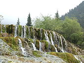
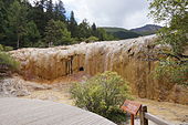
 Repeated glaciation events, the unique terrane structure, the formation of tufa, the stratum of carbonic acid rock, and climatic conditions such as Arctic-alpine sunlight have created this world-famous travertine landscape. Huanglong covers an area of 700 km at an altitude between 1700m and 5588m. Major scenic areas include:
- Huanglong Valley (黄龙沟)
- Danyun Gorge (Chinese: 丹云峽; lit. 'red cloud gorge'): A canyon more than 1,000 meters in depth. The snow melt from the nearby Mount Xuebaoding travels through this canyon, providing much of the water for the region.
- Muni Valley (牟尼沟)
- Xuebaoding (雪宝顶; 'snow treasure peak') – 5,588 m (18,333 ft). The highest peak in the Min Mountains
- Xueshan Ridge (雪山梁; 'snow mountain ridge') – 4,007 m (13,146 ft), the highest point on the road from Jiuhuang Airport to Huanglong Valley.
- Red Star Rock (红星岩)
- Sigou (四沟; 'fourth gully')
Huanglong Valley
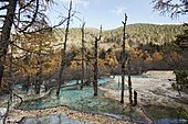
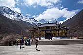
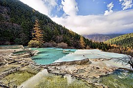
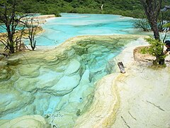
The total length of the travertine in Huanglong Valley is 3.6 km and it is thought to look like a huge golden dragon wheeling through the snow-capped mountains of the valley. The main landscapes are travertine banks, colorful ponds and travertine waterfalls and caves. The main body of water starts from the ancient Buddhist/Benbo temple at the top of the valley and ends at the Guests Welcome Pond in the north with a length of 2.5 km and a width of 30–170m. The colours of Huanglong's waters consist of yellows, greens, blues and browns.


Gallery
See also
- Baishuitai, Yunnan, China
- Badab-e Surt in Iran
- Mammoth Hot Springs in Yellowstone Park, United States
- Band-e Amir in Afghanistan
- Semuc Champey in Guatemala
- Plitvice Lakes in Croatia
- Pamukkale in Turkey
- Travertine
References
- ^ "Huanglong Scenic and Historic Interest Area".
- ^ Li, P.; Luo, Y.; Bernhardt, P.; Kou, Y.; Perner, H. (27 February 2008). "Pollination of Cypripedium plectrochilum (Orchidaceae) by Lasioglossum spp. (Halictidae): the roles of generalist attractants versus restrictive floral architecture". Plant Biology. 10 (2): 220–230. doi:10.1111/j.1438-8677.2007.00020.x. PMID 18304196.
- ^ "Huanglong Scenic and Historic Interest Area". UNESCO World Heritage Centre. Retrieved 2021-04-22.
- ^ Huadong, Guo (2013). Atlas of Remote Sensing for World Heritage: China. Springer. pp. 282–287. ISBN 978-3-642-32823-7.
External links

