Mati (river)
The Mati flows across uninhabited territory.
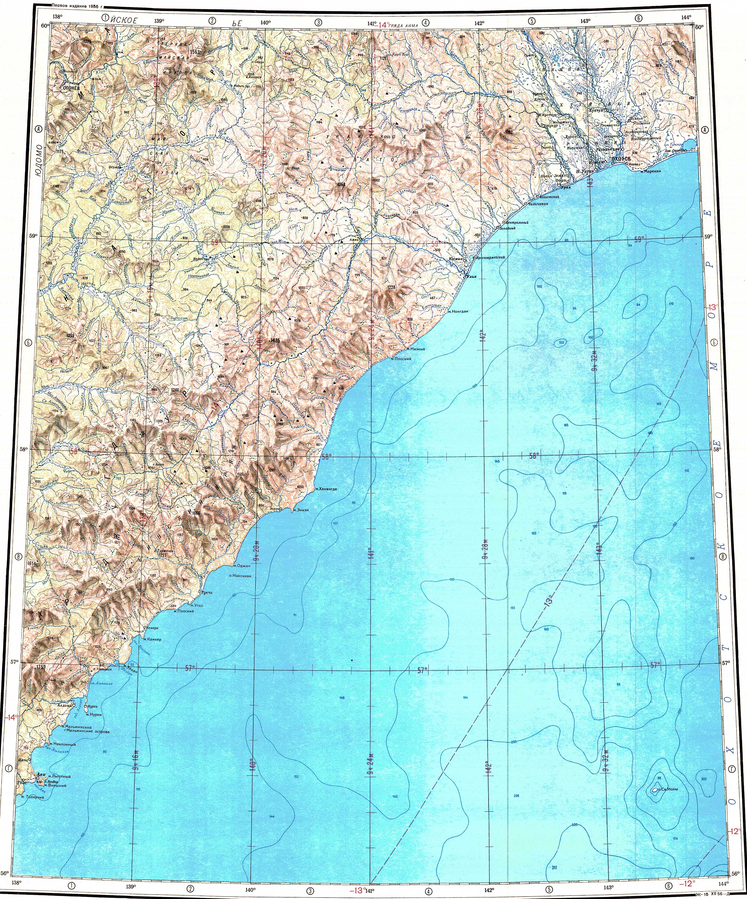
Course
The Mati river originates at the confluence of the Levaya Mati and Pravaya Mati mountain rivers in the northern Dzhugdzhur mountain slopes. It heads first roughly westwards and then northwestwards, meandering in the floodplain in its lower course. Finally it flows into the right bank of the Maya 914 km (568 mi) from its mouth in The Aldan. The river is fed by snow and rain. It freezes around late October and stays frozen until mid May.
Tributaries
The main tributaries of the Mati are the 34 kilometres (21 mi) long Mira and the 29 kilometres (18 mi) long Kostyor from the left, as well as the 50 kilometres (31 mi) long Malinovaya (Machekha), the 44 kilometres (27 mi) long Cheryomukhovaya (Khusharin) and the 35 kilometres (22 mi) long Birandya from the right. There are a few lakes close to the river channel in its last stretch.
 |
See also
References
- ^ "Река Мати in the State Water Register of Russia". textual.ru (in Russian).
- ^ 1,000,000 scale Operational Navigation Chart; Sheet D-8
- ^ Google Earth
- ^ "O-54 Topographic Chart (in Russian)". Retrieved 5 May 2023.
- ^ Река Мая (бассейн реки Алдан)