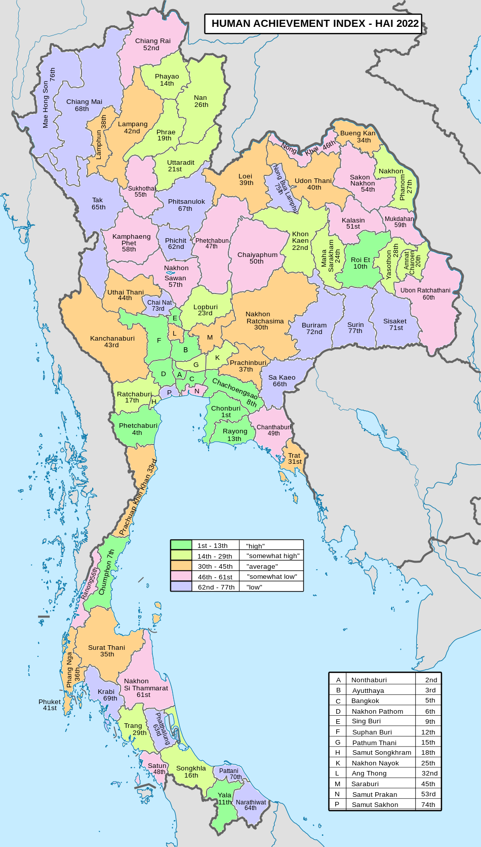
Phatthalung Province
Geography

The province is on the Malay Peninsula. It borders to the east the large and shallow Songkhla Lake, and to the west the Nakhon Si Thammarat mountain range. Khao Pu–Khao Ya National Park is at the border with Trang. Forests cover 628 km (242 sq mi), or 16.3 percent of the province's area.
History
Phatthalung was formerly known as Mardelong (Jawi: مردلوڠ) in Malay, especially during the time when the region came under Malay-Muslim influence.
Phatthalung became one of twelve royal cities during the reign of King Ramathibodi I of the Ayutthaya Kingdom in the 14th century. At the end of the 18th century, King Rama I submitted the city to the Ministry of Defense, which was responsible for all the southern provinces. In 1896, during the administrative reforms of King Chulalongkorn, Phatthalung became part of the Monthon Nakhon Si Thammarat. In 1924, King Rama VI ordered to move the city of Phatthalung to the present-day Khuha Sawan Subdistrict.
Symbols
The provincial seal shows the 177 meter high Phu Khao Ok Thalu mountain, the symbol of the province. The provincial tree and flower is the sweet shorea (Shorea roxburghii). The provincial aquatic life is the tinfoil barb (Barbonymus schwanenfeld), also known locally as pla lam-pam (Thai: ปลาลำปำ), the eponymous of the striking local water source Songkhla Lake, or known in Phatthalung as Lam Pam Lake or Thale Noi and Phatthalung Lake.
Transport
Air
Phatthalung does not have an airport. The nearest airport is Trang Airport, which is 66 km from the center of Phatthalung.
Rail
The main station in the province is the Phatthalung Railway Station.
Administrative divisions
Provincial government
Phatthalung is divided into 11 districts (amphoes). The districts are further divided into 65 subdistricts (tambons) and 626 villages (mubans).
 |
Number | Name | Thai |
|---|---|---|---|
| 1 | Mueang Phatthalung | เมืองพัทลุง | |
| 2 | Kong Ra | กงหรา | |
| 3 | Khao Chaison | เขาชัยสน | |
| 4 | Tamot | ตะโหมด | |
| 5 | Khuan Khanun | ควนขนุน | |
| 6 | Pak Phayun | ปากพะยูน | |
| 7 | Si Banphot | ศรีบรรพต | |
| 8 | Pa Bon | ป่าบอน | |
| 9 | Bang Kaeo | บางแก้ว | |
| 10 | Pa Phayom | ป่าพะยอม | |
| 11 | Srinagarindra | ศรีนครินทร์ |
Local government
As of 26 November 2019 there are: one Phatthalung Provincial Administration Organisation (ongkan borihan suan changwat) and 49 municipal (thesaban) areas in the province. Phatthalung has town (thesaban mueang) status. Further 48 subdistrict municipalities (thesaban tambon). The non-municipal areas are administered by 24 Subdistrict Administrative Organisations - SAO (ongkan borihan suan tambon).
Demographics
Religion in Phattalung
The majority of the province's populace are Thai Buddhists. Muslims account for 11.1 percent of the population. Many of Phatthalung's Muslims have some ethnic Malay ancestry, but over the centuries they had intermarried with the Thais and adopted Thai cultural norms.
Tourism
Sights
Phraya Thukkharat (Chuai) Monument (อนุสาวรีย์พระยาทุกขราษฎร์ (ช่วย)) - Phraya Thukkharat was a former monk known as Phra Maha Chuai. During the Nine Armies War in the reign of King Rama I, then Phra Maha Chuai had assisted Phraya Phatthalung, who had led a force of villagers to defeat an invading Burmese army. Later, when he had left the monkhood, he was awarded the royal title Phraya Thukkharat and was an assistant to the city's ruler.


