Slade Reservoir
| Lower slade reservoir | |
|---|---|
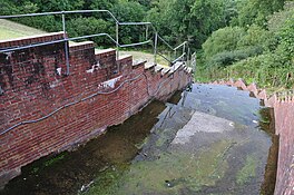
 Water leat on the lower reservoir | |
| Location | Ilfracombe, North Devon, England |
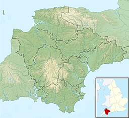
| Coordinates | 51°11′25″N 04°08′22″W / 51.19028°N 4.13944°W |
| Type | Reservoir |
| Primary inflows | West Wilder Brook |
| Primary outflows | West Wilder Brook |
| Basin countries | England |
| Built | 1858 |
| Average depth | 5.6 m (18 ft) |
The reservoirs were built to supply water to the urban district of Ilfracombe. The reservoirs were insufficient so that Wistlandpound Reservoir was constructed. It was completed in 1956) and is now used as a fishery. Fishing here is restricted as a permit is required.
| Upper Slade Reservoir | |
|---|---|
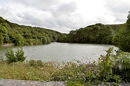
 Upper reservoir | |
| Location | Ilfracombe, North Devon, England |
| Coordinates | 51°11′10″N 04°08′30″W / 51.18611°N 4.14167°W |
| Type | Reservoir |
| Primary inflows | A small stream |
| Primary outflows | West Wilder Brook |
| Basin countries | England |
| Built | 1859 |
Upper Slade Reservoir is a twin reservoir of Lower Slade Reservoir and served the same purpose. While it may seem that the river wilder is the primary inflow, it is not the wilder intercepts the spillway between the two reservoirs A staircase has been constructed between the dam and the former railway line between Barnstaple and Ilfracombe. Fishing is allowed in this reservoir, but is strictly limited and requires a special permit.
History
In 2004 Charlotte Pinkney was murdered, more than 50 searches across North Devon and West Somerset took place. About 150 million litres of water was drained from two reservoirs that where near her home for police divers to look for clues. Even the sewer network was searched. No body was found.
References
- ^ "cde". environment.data.gov.uk. Retrieved 20 February 2021.
- ^ "cde". environment.data.gov.uk. Retrieved 20 February 2021.
- ^ "evidence of Eutrophication" (PDF).
- ^ "SLADE UPPER RESERVOIR, NORTH DEVON (EX34 8LL)". Get outside.
- ^ "Freshwater life" (PDF).
- ^ Killer who murdered 16-year-old who 'spurned sexual advances' found dead in prison


