Washington State Route 131
Route description
State Route 131 (SR 131) begins at the northern end of Forest Route 25 (FR 25) located at the Gifford Pinchot National Forest boundary, which continues south (via FR 90), east of Mount St. Helens and Spirit Lake, to SR 503 Spur in Cougar. From FR 25, the roadway travels northbound as Woods Creek Road to an intersection with Cispus Road, where it is renamed to the aforementioned street. The highway then crosses the Cowlitz River and ends at U.S. Route 12 (US 12) in Randle. Before the US 12 intersection in Randle, the road was used by a daily average of 1,700 motorists in 2007, making this segment the busiest along the route. The same intersection was also the busiest on SR 131 in 1992, only with a daily average of 3,100 motorists.
History
The first appearance of the current route on a map was in 1924, when a map of the area around Mount Rainier showed a road extending from Siler Creek to Randle. The roadway ran north from the creek to a branch of State Road 5, later PSH 5. The highway then became SR 131 in 1991, when the Washington State Legislature revised the highway system.
Major intersections
The entire highway is in Lewis County.
| Location | mi | km | Destinations | Notes | |
|---|---|---|---|---|---|
| | 0.00 | 0.00 | Southern terminus | ||
| Randle | 2.07 | 3.33 | Northern terminus | ||
| 1.000 mi = 1.609 km; 1.000 km = 0.621 mi | |||||
References
- ^ Washington State Department of Transportation (2006). "State Highway Log: Planning Report, SR 2 to SR 971" (PDF). Retrieved June 28, 2009.
- ^ Washington State Legislature (1991). "RCW 47.17.262: State route No. 131". Retrieved June 28, 2009.
- ^ "Forest Routes 25 and 90" (Map). Google Maps. Retrieved June 28, 2009.
- ^ "State Route 131" (Map). Google Maps. Retrieved June 28, 2009.
- ^ Washington State Department of Transportation (2007). "2007 Annual Traffic Report" (PDF). p. 145. Retrieved June 28, 2009.
- ^ Washington State Department of Transportation (1992). "1992 Annual Traffic Report" (PDF). pp. 110–111. Retrieved June 28, 2009.
- ^ United States Geological Survey (1924). Mount Rainier (1924) (Map). 1:125,000. Washington 1:125,000 topographic quadrangles. Washington State University. Retrieved June 28, 2009.
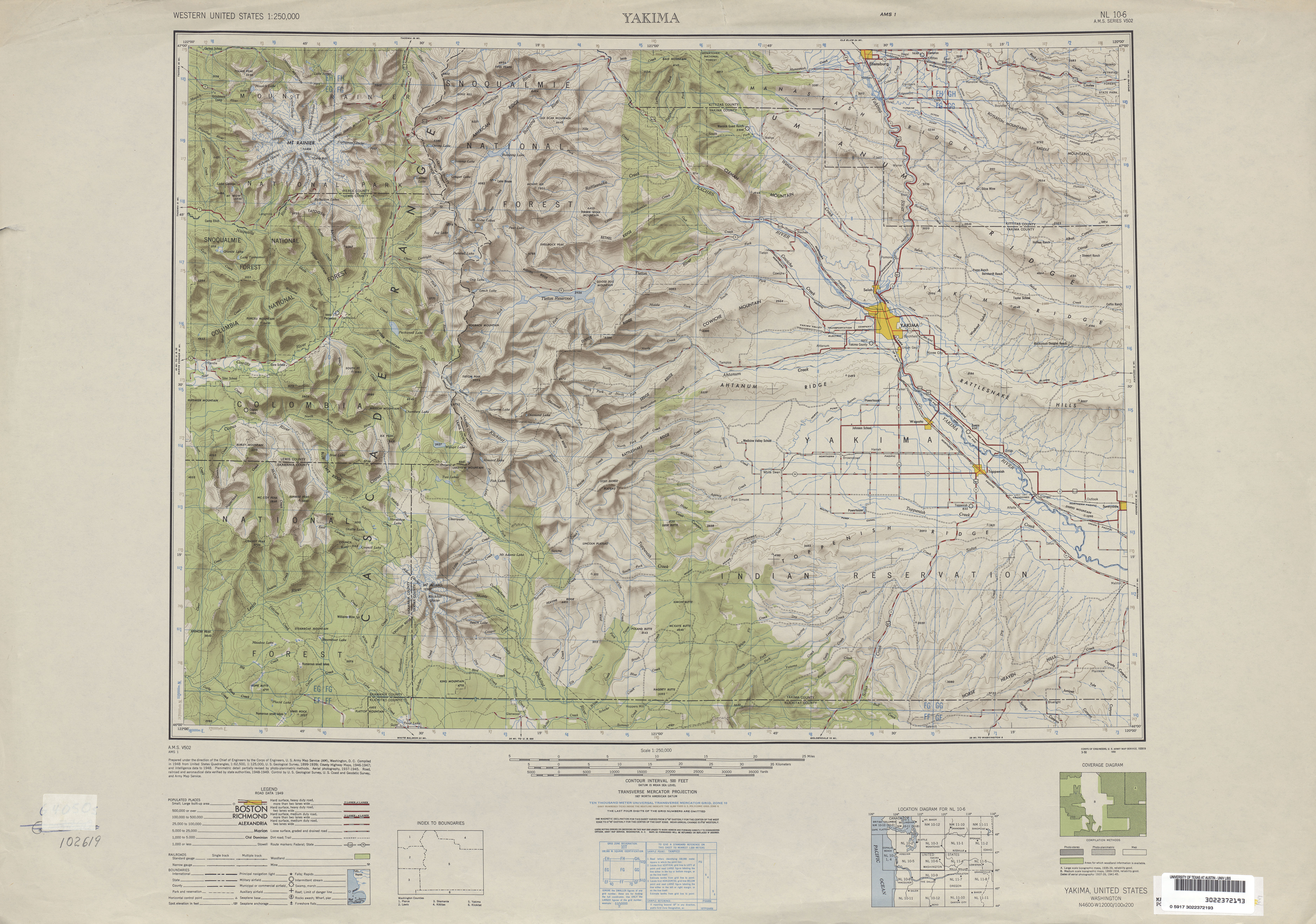
- ^ United States Geological Survey (1949). Yakima, 1948 (Map). University of Texas at Austin. Retrieved June 28, 2009.
- ^ United States Geological Survey (1963). Yakima, 1963 (Map). University of Texas at Austin. Retrieved June 28, 2009.
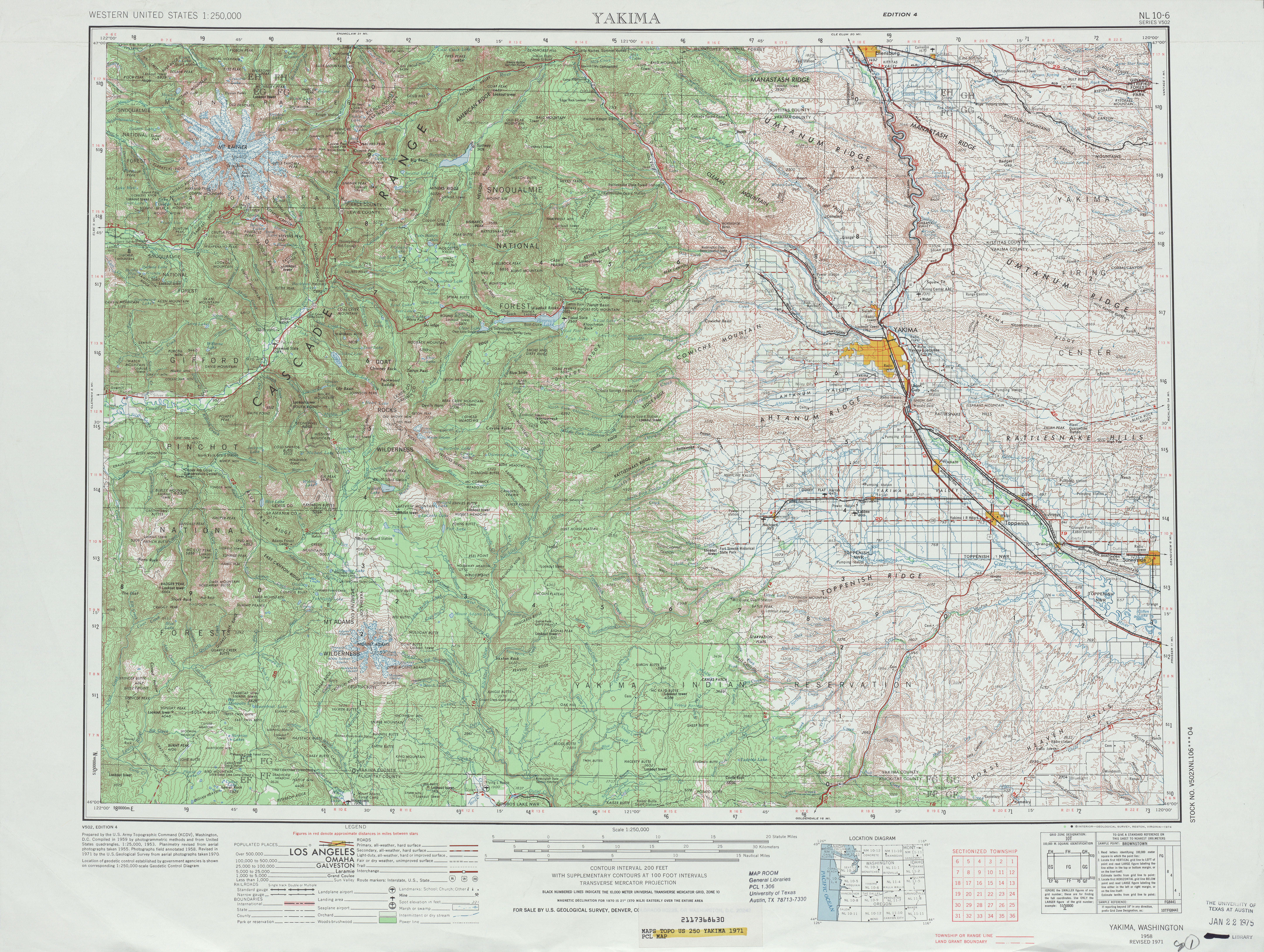
- ^ United States Geological Survey (1971). Yakima, 1971 (Map). University of Texas at Austin. Retrieved June 28, 2009.
- ^ Washington State House of Representatives (1991). "Chapter 342, Laws of 1991: State Highway Routes - Revisions To (House Bill 5801)". Washington State Legislature. Retrieved June 28, 2009.
New Section. Sec. 14. A state highway to be known as state route number 131 is established as follows: Beginning at the Gifford Pinchot national forest boundary south of Randle, thence northerly to a junction with state route number 12 in Randle.