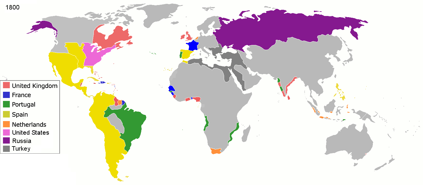
File:Colonisation 1800.png
5000 ·
2000 ·
1000 ·
500 ·
400 ·
323 ·
300 ·
200 ·
100 ·
50
AD
(this template: · view · discuss )
Date
Source
Own work
Author
Jluisrs
Permission
(Reusing this file)
1 · 50 · 100 · 200 · 250 · 300 · 400 · 500 · 700 · 750 · 820 · 900 · 1200 · 1500 · 1556 · 1648 · 1700 · 1750 · 1815 · 1859 · 1871 · 1914 · 1935 · 1954 · 1989 · 2000 ·
Maps of colonization history
1492 ·
1550 ·
1600 ·
1660 ·
1754 ·
1800 ·
1812 ·
1822 ·
1885 ·
1898 ·
1914 ·
1920 ·
1936 ·
1938 ·
1945 ·
1959 ·
1974 ·
1975 ·
2007
Animated Map
see also: Eastern Hemisphere only maps template (1300BC-1500AD)
(Reusing this file)
| I, the copyright holder of this work, release this work into the public domain. This applies worldwide. In some countries this may not be legally possible; if so: I grant anyone the right to use this work for any purpose, without any conditions, unless such conditions are required by law. |

|
File:Colonial empires in 1800.svg is a vector version of this file. It should be used in place of this PNG file when not inferior.
File:Colonisation 1800.png → File:Colonial empires in 1800.svg
For more information, see Help:SVG. |
 |
| Annotations | This image is annotated: View the annotations at Commons |


.jpg)
._LOC_2001620596.jpg)