File:Roman Empire 600 AD.PNG
-
 English (PNG)
 -
 English
 -
 español
 -
 português
| I, the copyright holder of this work, release this work into the public domain. This applies worldwide. In some countries this may not be legally possible; if so: I grant anyone the right to use this work for any purpose, without any conditions, unless such conditions are required by law. |
Click on a date/time to view the file as it appeared at that time.
| Date/Time | Thumbnail | Dimensions | User | Comment | |
|---|---|---|---|---|---|
| current | 16:03, 10 August 2012 | 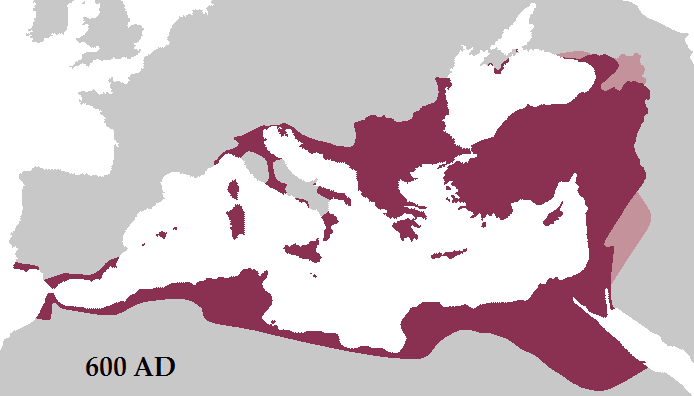 | 694 × 396 (13 KB) | DIREKTOR | Tyrian purple |
| 12:20, 20 March 2012 |  | 694 × 396 (17 KB) | Tataryn | Added coastal corridor from Dalmatia to Italy. The Exarchate periodically held the corridor from the island of Grado. The fact that the exarch of Ravenna defeated an Avar attack on Istria during Maurice's reign suggests the Romans held the corridor dur... | |
| 23:35, 1 March 2012 |  | 694 × 396 (19 KB) | Tataryn | Added Ghassanids as vassals. | |
| 23:30, 1 March 2012 |  | 694 × 396 (19 KB) | Tataryn | Added Lazica, and Abasgians as vassals. | |
| 04:42, 1 March 2012 |  | 694 × 396 (19 KB) | Tataryn | Fixed eastern border. | |
| 18:28, 29 February 2012 |  | 694 × 396 (19 KB) | Tataryn | Fixed date. | |
| 13:37, 29 February 2012 |  | 694 × 396 (19 KB) | Tataryn | Better Map. | |
| 18:36, 16 November 2009 |  | 720 × 516 (65 KB) | Tataryn | {{Information |Description={{en|1=Map of the Roman Empire in 600 AD during the reign of Emperor Maurice.}} |Source={{own}} |Author=Tataryn77 |Date=November 16, 2009 |Permission= |other_versions= }} |
The following other wikis use this file:
View more global usage of this file.


